Here begins the tour
The trail starts and ends at Kulsviergården in Alsønderup, near Hillerød, and is signposted. Follow Ravnsbjergvej out of the Alsønderup village, pass by Alsønderup Church, and quickly enter the open countryside. Next, you cross through a hilly glacial landscape where you can take a break at a field boundary and enjoy the view of Alsønderup Engsø. The trail runs parallel the asphalt road to the T-junction, where Kulsvierstien turns left.
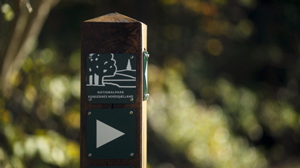
Hilly glacial landscape
The path now goes through a marshy area in the Kongernes Nordsjælland National Park, a hilly glacial landscape. Further along the trail, you can take a break at the field boundary and enjoy the view of Alsønderup Engsø.
The ecological farm Mangholm
On the right side are the fields of the ecological farm Mangholm, where you can experience in the café, farm shop, or dine in Mangholm's weekend open restaurant, and outside you can see the biodiversity in full swing.
Back to Kulsviergården
When you return to Kulsviergården in Alsønderup, you can choose either to walk along the main road or enjoy the view from a new angle and follow the signs back the same way you came. The tour can be extended with a detour to Nejede Vesterskov, where there is access to a bird tower at Alsønderup Engsø and three burial mounds in the southern part of the forest.
Important information about using Kulsvierstien
The trail runs on private land provided by the landowners, so it is very important to adhere to the established rules for use, as otherwise the trail will be closed. There is occasional hunting in the fields, which will be signposted at Mangholm and Kulsviergården. Dogs are welcome on the trail but must be kept on a leash. At the same time, it is not allowed to ride or cycle on the trail. At Mangholm, there are freely roaming animals, so unfortunately, dogs are not allowed here.
Tour facts
- Start: Kulsviergården, Alsønderup
- Length: 3.5 km
- Surface: Path on gravel and asphalt
- Suitable for: Children and adults
- Signage: Posts with hiking pictograms
- Toilet: No
- Season: April – November
- Find the interactive map via the QR code above
Where to eat
Where to stay
Worth knowing – Who were the Kulsviere?
The Kulsvierstien gets its name because it runs through an area that was central to charcoal burning in North Zealand. The Kulsviere were typically small farmers who earned some extra money for their households by producing charcoal, which was sold at the Hillerød Torv and used to heat the city's houses.
Charcoal burning is a process where wood is slowly burned in a low-oxygen environment, resulting in charcoal. Charcoal can achieve very high temperatures, which is why it was used, among other things, to heat the royal palaces.