The Yellow Quality Path | Walk Through Tisvilde Hegn in North Zealand
Go from yellow dot to yellow dot through Tisvilde Hegn by the North coast. On the trip, you'll pass an abandoned village, castle ruins, Troldeskoven and fascinating raw nature that you don't normally associate with Denmark.
The path through Tisvilde Hegn with the yellow dots has been certified as a quality path by the Danish Hiking Association. This ensures you have the optimal conditions for a good hike on the trail. The trail's difficulty level is easy, so everyone can join, including children, as long as they can walk 7.2 km.
Find Your Way Through Tisvilde Hegn on the Yellow Path
The path is marked with yellow dots, but a yellow dot is missing here and there. Therefore, we recommend that you use your normal hiking app, or you can use the map from outdoor activity.
Fun for the Kids on the Trip
Make the hike a game and let the children find the next yellow dot on the way, or tell them about the many trolls who, "of course", have lived in the forest for many years.
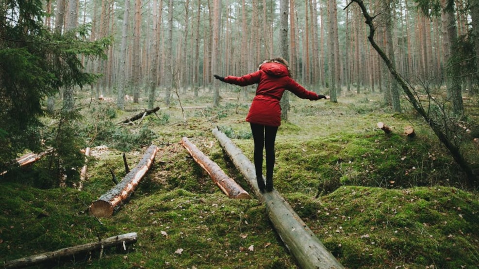
You Have to See This
The sand drift has characterized the area for many years and has had a major impact on how the landscape looks today. In the Nature Agency's folder, you can read more about the sand drift in Tisvilde Hegn.
Troldeskoven's crooked and gnarled old pine can be dated back to the 18th century. When you move around the forest, you get the feeling of being part of an adventure. Dive into the troll forest.
Torup - the disappeared village - The village that disappeared at the end of the 16th century. Asserbo Slotsruin - The moat and the old ruins of the monastery from the 12th century can still be seen.
The yellow path goes a short way past the beach, so if you're going on a hot day, remember to wear swimwear. The wide white sandy beach is just around the corner on the other side of the dunes. If you go for the trip on a windy day, you can be blown away by the view of the Kattegat.
Facts About the Route
- Length 7.2 km
- Difficulty easy, but hilly terrain, good shoes recommended
- The quality trail follows the Nature Agency's yellow route
- The route on Outdooractive
- The route is marked with yellow dots, but markings are missing in several places.
- The route is round, so you come back time your starting point
- Nature Agency's leaflet about Tisvilde Hegn
- What is a quality trail from the Danish Hiking Association?
Transport to the Yellow Trail in Tisvilde Hegn
If you come to the trail by car, we recommend starting at Asserbo Slotsruin, where you will find a public car park. The nearest address is Bisp Absalons Vej 28, 3300 Frederiksværk.
Alternatively, you can follow these coordinates: Latitude: 56.02375499168045 & Longitude: 12.05161852296442
Public Transport
Drive with 320R between Helsinge St. and Frederikssund St., and get off at the stop: Chr. E. Bartholdys Allé, from here, it is approx. 1 km to the yellow trail. Check the timetable.